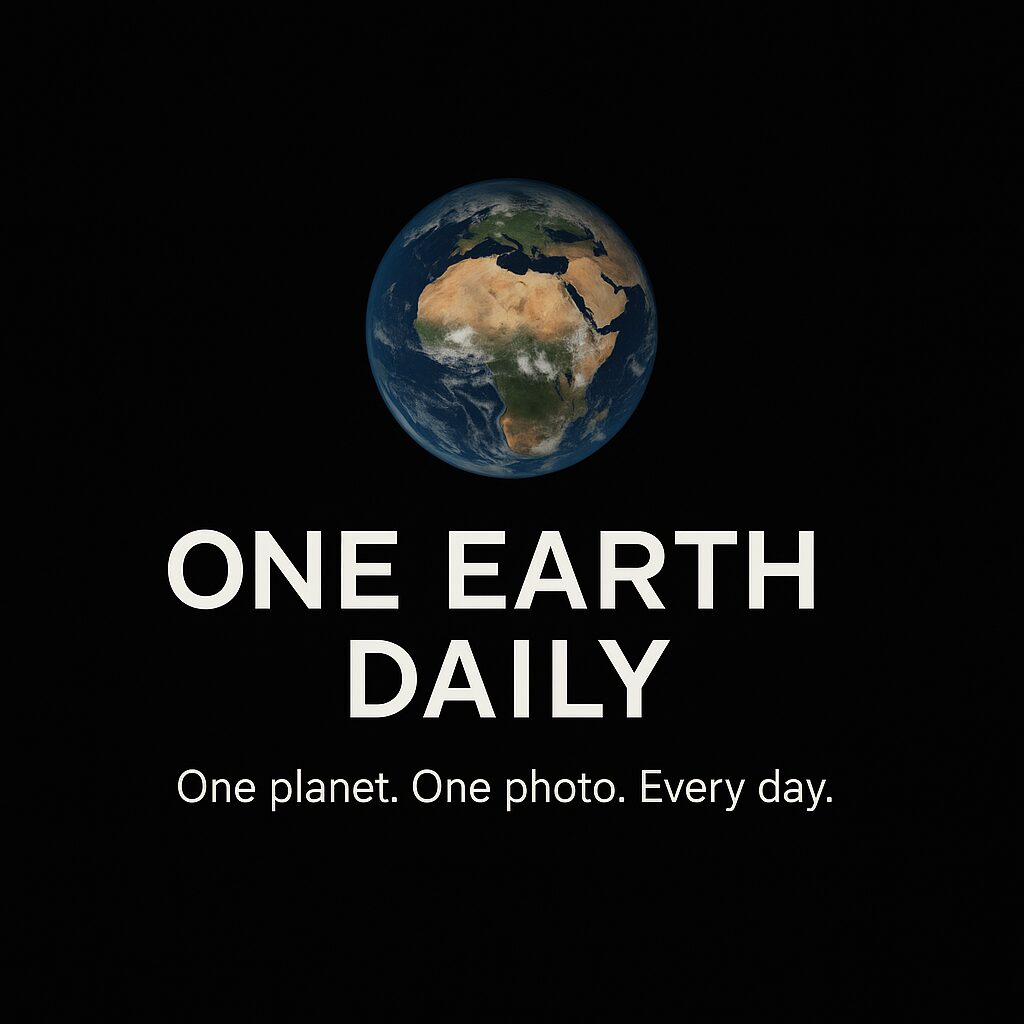
About One Earth Daily 🌍
A living portrait of our planet, refreshed every day.
What Is One Earth Daily?
One Earth Daily is a project designed to give everyone a simple way to see our home planet as it looks today. Each day at 00:00 UTC, a new image of Earth is automatically imported from satellite feeds such as Himawari-8 and GOES-16.
Instead of outdated stock photos or static globe renders, what you see here is the real Earth — cloud systems, ocean colors, and weather patterns as they look right now from orbit.
👉 Try it now: see today’s photo on the homepage.
Why Daily Earth Images Matter
We live on a dynamic planet. Every hour, Earth changes:
- 🌊 Oceans shift in color with currents and plankton blooms.
- 🌩️ Storm systems form, move, and dissipate.
- 🌎 Sunlight highlights different continents as Earth rotates.
By capturing and archiving a daily snapshot of Earth, One Earth Daily creates a living record of these transformations. For students, educators, and curious minds, it’s a reminder of how alive our world really is.
Where Do the Images Come From?
Himawari-8 (Japan)
Launched by the Japan Meteorological Agency, Himawari-8 provides high-resolution full-disk images of Earth every 10 minutes. It orbits above the equator at about 35,786 km, giving a constant view of Asia, Australia, and the Pacific.
GOES-16 (USA)
Managed by NOAA, GOES-16 (also known as GOES-East) covers North and South America, the Atlantic, and parts of Africa and Europe. Its “GeoColor” imagery shows Earth in natural-looking colors.
Automatic Updates
Our system checks Himawari-8 first for the most recent image. If unavailable, it automatically falls back to the GOES-16 feed. The result: a new image of Earth imported into our site’s gallery every day without manual updates.
Features of One Earth Daily
- 🌍 Daily Earth Image – A fresh view of the planet each day.
- 🖼️ Earth Gallery – Browse and compare past days to see changes.
- ⬇️ Free Downloads – Save images in high resolution for study, art, or inspiration.
- 🔗 Share Links – Copy and share today’s Earth photo instantly.
Whether you’re a teacher explaining weather systems, a student researching Earth science, or simply someone who loves space photography, One Earth Daily offers a window into the living planet.
How One Earth Daily Helps Learning and Inspiration
- Education – Teachers can use daily Earth images to explain weather, climate, geography, and the science of satellites.
- Inspiration – The project makes it easy to pause, look at Earth, and remember how connected we all are.
- Awareness – Seeing our planet from above highlights both its beauty and its fragility.
Frequently Asked Questions (FAQ)
Q: When does the site update with a new image?
A: A new image is imported daily at 00:00 UTC (that’s evening in the Americas, morning in Asia).
Q: Are the images free to use?
A: Yes, the satellite images are public domain. You’re free to download and share them for personal or educational use.
Q: Why are some images cloudy or blurry?
A: Because these are real satellite captures, some days may show more clouds or storm systems. That’s part of the project’s authenticity — it’s always Earth as it truly is.
Join the Journey
Earth is the only home we share. By watching it daily, we connect more deeply with the rhythms of our planet.
Explore today’s image on the homepage, or browse past days in the gallery. And don’t forget to copy the link and share it with friends — because every day brings a new view of our world.